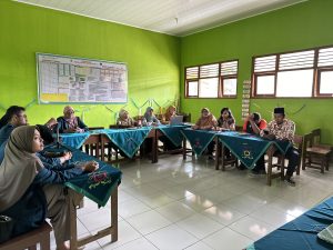
Sragen (25/10), In disaster mitigation efforts, awareness from all layers – individuals, groups, and communities – is necessary. One strategy in disaster risk reduction (DRR) is to enhance the understanding and capacity (awareness) of both individuals and communities towards disasters. Disaster risk assessments related to emergency assessment and planning are now integrating the roles of local government, public entities, and local communities. One step to minimize communication limitations between the community and the government is through capacity-building via participatory disaster mapping.
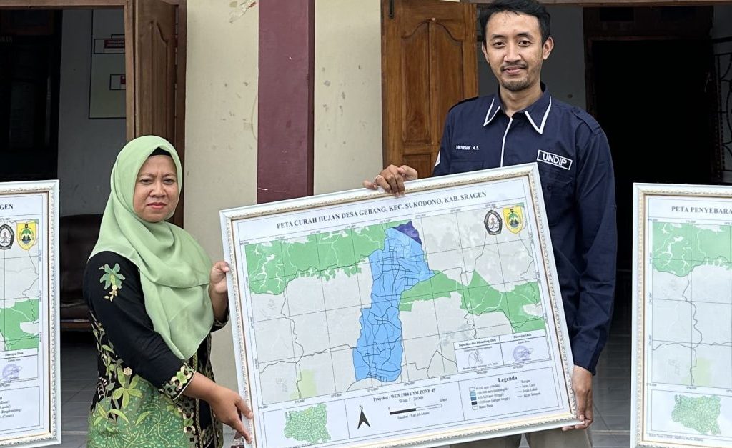
To enhance public knowledge regarding disaster mitigation, the Community Service Team of the Department of Fisheries, Universitas Diponegoro, conducted an activity titled “Disaster Education through Participatory Community Mapping in Sukodono Subdistrict, Sragen Regency to Support SDG Efforts.” This team consists of Hendrik Anggi Setyawan, S.Pi., M.Si., Prof. Dr. Aristi Dian Purnama Fitri, S.Pi., M.Si., and Desca Estiyani Dewi, S.Pi., M.Pi.
The activity location is in Gebang Village, Sukodono Subdistrict, Sragen Regency, Central Java. The activity begins with initial surveys and data collection, followed by the dissemination of information, counseling, and the creation of disaster vulnerability maps. The residents enthusiastically participate in the activity and hope that it can continue to run smoothly.